Hyperspectral Imaging in Remote Sensing: Applications and Challenges
Hyperspectral imaging is an advanced remote sensing technology that captures a wide range of spectral bands across the electromagnetic spectrum. Unlike traditional multispectral imaging, which collects data in a limited number of bands, hyperspectral imaging provides continuous spectral information, allowing for detailed material identification and classification (Goetz, 2009). This technology is widely applied in agriculture, environmental monitoring, mineral exploration, and defense.
The ability to analyze hundreds of narrow spectral bands enables hyperspectral sensors to detect subtle differences in surface materials, making them invaluable for detecting crop health, mapping vegetation, and identifying mineral compositions (Clark et al., 1995). However, despite its advantages, hyperspectral imaging faces challenges related to data processing, storage requirements, and atmospheric interference, necessitating further advancements in sensor technology and machine learning applications.
Principles of Hyperspectral Imaging
Spectral Resolution and Data Acquisition
Hyperspectral imaging operates by measuring reflected, emitted, or transmitted energy across a broad range of wavelengths. Typical hyperspectral sensors capture data in hundreds of contiguous spectral bands, ranging from the visible and near-infrared (VNIR) to the shortwave infrared (SWIR) and thermal infrared (TIR) regions (Gao, 1996). This high spectral resolution enables precise discrimination of materials based on their spectral signatures.
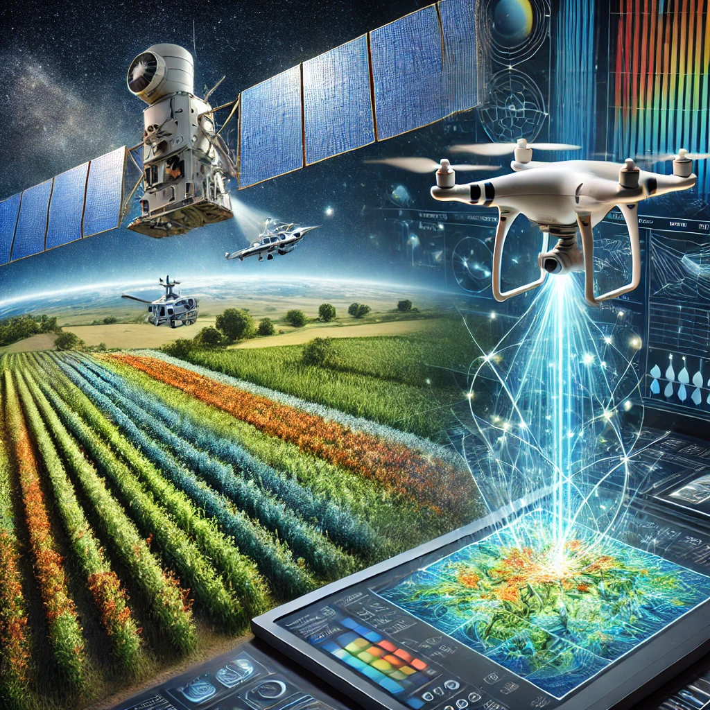
Data acquisition in hyperspectral remote sensing is typically performed using airborne platforms, satellites, or ground-based systems. Airborne hyperspectral sensors provide high-resolution imaging for localized studies, while spaceborne hyperspectral sensors, such as NASA’s Hyperion and ESA’s EnMAP, support large-scale environmental assessments (Kruse, 2012). Advances in UAV-based hyperspectral imaging have further enhanced its accessibility for real-time monitoring applications (Colomina & Molina, 2014).
Spectral Signature Analysis
One of the primary advantages of hyperspectral imaging is its ability to analyze spectral signatures, which represent the unique reflectance characteristics of different materials. By comparing spectral signatures from hyperspectral datasets with reference libraries, researchers can accurately classify land cover types, detect mineral compositions, and monitor ecosystem health (Goetz, 2009).
Spectral unmixing techniques, including linear and nonlinear models, are commonly used to separate mixed pixels and enhance classification accuracy. Machine learning and deep learning algorithms have also been integrated into hyperspectral data analysis to improve feature extraction and automated classification (Zhu et al., 2017).
Applications of Hyperspectral Imaging
Agricultural and Vegetation Monitoring
Hyperspectral imaging plays a crucial role in precision agriculture by enabling detailed crop health assessment, disease detection, and nutrient analysis. By analyzing vegetation indices, such as the Red Edge Position (REP) and Chlorophyll Absorption Ratio Index (CARI), hyperspectral sensors can provide insights into plant stress levels and biomass productivity (Lobell et al., 2007).
In forestry, hyperspectral data is used for species classification, tree health monitoring, and wildfire risk assessment. High spectral resolution allows researchers to differentiate between healthy and diseased vegetation, aiding in early pest and disease management strategies (Townshend et al., 1991).
Environmental and Water Resource Management
Hyperspectral imaging is widely used for monitoring water quality and detecting pollutants in aquatic environments. Spectral analysis of chlorophyll, turbidity, and dissolved organic matter helps assess eutrophication levels and track algal blooms (McClain, 2009). Thermal and infrared hyperspectral sensors are also employed for mapping groundwater contamination and detecting oil spills (Gao, 1996).
In land management, hyperspectral imaging supports soil composition analysis and erosion monitoring. By examining soil reflectance properties, researchers can assess moisture content, organic matter, and mineralogical variations, aiding in sustainable land use planning (Huete et al., 2002).
Mineral Exploration and Geological Mapping
Hyperspectral remote sensing is an essential tool in mineral exploration, enabling the identification of specific mineral compositions based on their spectral absorption features. VNIR and SWIR bands are particularly useful for detecting alteration minerals associated with ore deposits, such as clays, carbonates, and sulfates (Clark et al., 1995).
Geological mapping applications benefit from hyperspectral imaging by providing high-resolution surface mineralogy data. This information helps geologists refine exploration models, reducing costs and improving targeting efficiency in mining operations (Kruse, 2012).
Challenges in Hyperspectral Imaging
High Data Volume and Computational Requirements
One of the primary challenges of hyperspectral imaging is the large volume of data generated. With hundreds of spectral bands per pixel, hyperspectral datasets require significant storage capacity and high-performance computing resources for processing and analysis (Goetz, 2009).
Data preprocessing steps, including atmospheric correction, noise reduction, and spectral calibration, are computationally intensive and require specialized algorithms. The integration of cloud computing and parallel processing techniques has improved data handling efficiency but remains a key area for further development (Gorelick et al., 2017).
Atmospheric Interference and Calibration
Atmospheric conditions, such as water vapor, aerosols, and cloud cover, can affect the accuracy of hyperspectral data. Radiometric and geometric corrections are necessary to compensate for atmospheric distortions and ensure reliable spectral measurements (Mather & Koch, 2011).
Sensor calibration and cross-platform standardization also present challenges in hyperspectral imaging. Variations in sensor specifications, acquisition angles, and illumination conditions can introduce inconsistencies in spectral data, requiring robust calibration techniques to maintain data accuracy (Jensen, 2007).
Future Trends in Hyperspectral Imaging
Integration with Artificial Intelligence and Deep Learning
The adoption of artificial intelligence (AI) and deep learning in hyperspectral remote sensing is enhancing data classification, anomaly detection, and feature extraction. AI-driven hyperspectral analysis reduces processing time and improves classification accuracy by automating spectral feature recognition (Zhu et al., 2017).
Advanced neural networks, such as convolutional neural networks (CNNs) and recurrent neural networks (RNNs), are being utilized to extract spatial and spectral patterns from hyperspectral datasets. These techniques are particularly useful for applications in precision agriculture, environmental monitoring, and defense (Colomina & Molina, 2014).
Miniaturization and UAV-Based Hyperspectral Sensors
The development of compact hyperspectral sensors has enabled their integration into UAV platforms, expanding their use in real-time monitoring applications. UAV-based hyperspectral imaging provides high spatial resolution and flexible data collection capabilities, making it ideal for precision agriculture and disaster response (Kruse, 2012).
Future advancements in sensor miniaturization, improved onboard processing, and real-time hyperspectral analytics will further enhance the adoption of hyperspectral imaging in various industries. These innovations will help overcome current challenges related to data volume and computational complexity, making hyperspectral remote sensing more accessible and practical.
Conclusion
Hyperspectral imaging is a powerful remote sensing technology with diverse applications in agriculture, environmental monitoring, mineral exploration, and beyond. By capturing detailed spectral information, hyperspectral sensors enable precise material identification and classification.
Despite its advantages, hyperspectral imaging faces challenges related to data volume, processing requirements, and atmospheric interference. However, advancements in AI, cloud computing, and UAV-based sensor technology are addressing these limitations, making hyperspectral remote sensing more efficient and accessible.
As hyperspectral imaging continues to evolve, its integration with emerging technologies will unlock new opportunities for scientific research, industry applications, and sustainable resource management.
Refrence
- Clark, R. N., Swayze, G. A., Gallagher, A. J., King, T. V., & Calvin, W. M. (1995). The USGS Digital Spectral Library: Version 1: 0.2 to 3.0 µm. U.S. Geological Survey Open-File Report.
- Colomina, I., & Molina, P. (2014). Unmanned aerial systems for photogrammetry and remote sensing: A review. ISPRS Journal of Photogrammetry and Remote Sensing, 92, 79-97.
- Gao, B. C. (1996). NDWI—A normalized difference water index for remote sensing of vegetation liquid water from space. Remote Sensing of Environment, 58(3), 257-266.
- Goetz, A. F. H. (2009). Three decades of hyperspectral remote sensing of the Earth: A personal view. Remote Sensing of Environment, 113(S1), S5-S16.
- Gorelick, N., Hancher, M., Dixon, M., Ilyushchenko, S., Thau, D., & Moore, R. (2017). Google Earth Engine: Planetary-scale geospatial analysis for everyone. Remote Sensing of Environment, 202, 18-27.
- Huete, A. R., Didan, K., Miura, T., Rodriguez, E. P., Gao, X., & Ferreira, L. G. (2002). Overview of the radiometric and biophysical performance of the MODIS vegetation indices. Remote Sensing of Environment, 83(1-2), 195-213.
- Jensen, J. R. (2007). Remote Sensing of the Environment: An Earth Resource Perspective (2nd ed.). Pearson.
- Kruse, F. A. (2012). Mapping surface mineralogy using imaging spectrometry. Geosciences, 2(3), 128-148.
- Lobell, D. B., Asner, G. P., Ortiz-Monasterio, J. I., & Benning, T. L. (2007). Remote sensing of regional crop production in the Yaqui Valley, Mexico: Estimates and uncertainties. Agricultural and Forest Meteorology, 139(3-4), 121-132.
- Mather, P. M., & Koch, M. (2011). Computer Processing of Remotely-Sensed Images: An Introduction (4th ed.). Wiley.
- McClain, C. R. (2009). A decade of satellite ocean color observations. Annual Review of Marine Science, 1, 19-42.
- Townshend, J. R., Justice, C. O., & Kalb, V. (1991). Characterization and classification of South American land cover types using satellite data. International Journal of Remote Sensing, 12(6), 1189-1210.
- Zhu, X. X., Tuia, D., Mou, L., Xia, G. S., Zhang, L., Xu, F., & Fraundorfer, F. (2017). Deep learning in remote sensing: A comprehensive review and list of resources. IEEE Geoscience and Remote Sensing Magazine, 5(4), 8-36.


Leave a Reply
Want to join the discussion?Feel free to contribute!