What ALOS PRISM measures and why it matters
PRISM used forward, nadir, and backward panchromatic viewing systems for stereo mapping. JAXA lists 2.5 m nadir spatial resolution and different swaths for nadir and triplet observations.
The practical review question is deriving historical surface geometry from along-track stereo imagery. This gives the mission a defined role in a project instead of treating a satellite specification as a general promise of better mapping. Start by identifying the physical variable, geographic extent, observation period, and smallest feature that would change the intended decision. A suitable instrument is one whose measurement and available product can answer that question with a defensible level of uncertainty.
For ALOS PRISM, the central interpretation risk is that a surface model can represent canopy and buildings rather than bare ground. That risk should influence data selection, preprocessing, validation, and the wording of the final map. More pixels or a stronger visual contrast will not resolve a mismatch between the measured quantity and the conclusion being requested. Keep the mission-specific limitation visible while assessing whether another sensor, field observation, or ancillary dataset is needed.
Understand how stereo geometry becomes a surface
Stereo mapping identifies corresponding image features viewed from different positions and uses viewing geometry to reconstruct a three-dimensional surface. Along-track and cross-track pairs have different temporal and geometric characteristics. A good pair needs suitable overlap, image texture, illumination, and sensor geometry. Clouds, water, repeated patterns, deep shadow, and occlusion can reduce matching reliability or produce gaps.
The reconstructed surface follows visible objects, including trees and buildings. It is not automatically a bare-earth terrain model. Any ground filtering or manual editing is an additional processing step with its own assumptions and validation requirements. Preserve matching confidence, gaps, and acquisition dates, especially where vegetation or construction changed between the images used to form the stereo product.
Validate height and horizontal position together
Use independent control with compatible horizontal and vertical reference systems. Check terrain slopes, building areas, open ground, vegetation, and image edges separately rather than reporting only one aggregate error statistic. A systematic horizontal mismatch can become a height error on slopes, while an incorrect datum can create a broad vertical offset. Correct these reference issues before interpreting apparent terrain change.
Derivative products such as slope, visibility, drainage, and volumes inherit the uncertainty and surface definition of the stereo model. A visually convincing hillshade does not verify absolute height or local engineering suitability. Retain the distinction between surface mapping and ground-survey evidence in the final GIS, and collect additional control where the intended decision needs a more precise or differently defined terrain surface.
A project workflow for ALOS PRISM
A defensible starting workflow is to evaluate stereo matching, occlusions, vertical reference, and independent checkpoints before deriving local terrain interpretations. Make this a documented sequence with input scene identifiers, processing collection, acquisition timestamps, quality exclusions, and output definitions. Inspect representative observations before running a large batch. This small review often exposes a missing band, unsupported retrieval condition, geometry mismatch, or archive gap that would otherwise propagate through every exported layer.
Keep source measurements and derived indicators separate. A GIS can display both, but their metadata should explain which layer comes directly from the selected ALOS PRISM product and which includes an additional classification, interpolation, statistical summary, or physical model. Store masks and uncertainty information with the result. If an analysis changes scale through aggregation or resampling, record that transformation rather than implying that the source instrument measured the new reporting units directly.
A repeatable workflow also needs a clear rule for missing or rejected observations. Do not substitute zero for no data or interpolate silently through an important event. Report how much of the target area was observed and which dates actually contribute to the result. If the available evidence cannot answer the original question, narrow the geographic or temporal claim or obtain complementary observations before presenting a management conclusion.
An illustrative interpretation check
For an illustrative stereo pair, a dense point cloud covers rooftops and treetops but contains gaps over a reservoir. Filling those gaps creates a continuous raster without creating measured water or ground elevations. Preserve a matching-quality layer, test independent checkpoints, and label the represented surface. If the project requires a bare-earth drainage model, additional filtering, control, or observations may be needed before the raster supports that task.
The same logic applies to the target question of deriving historical surface geometry from along-track stereo imagery. Use the example as a comparison design, then replace its hypothetical conditions with the actual scene and reference metadata. It is not a published performance result for ALOS PRISM. A reproducible interpretation should make it possible for another analyst to see which observation supports the claim and which part depends on an assumption that still needs testing.
Validation, specifications, and responsible comparison
Evaluate ALOS PRISM against independent evidence that measures a comparable quantity at a compatible time and scale. Keep validation observations separate from training or tuning inputs. Include both typical conditions and difficult environments, and report important errors by class or surface type where that affects the intended decision. One attractive scene or a high agreement statistic from a convenient subset does not establish performance across a different region, season, or processing version.
Use the official references below to verify instrument design and product documentation. Operational status, acquisition schedules, archive holdings, processing collections, commercial terms, and access mechanisms can change; check those details for the actual project date. A nominal orbit repeat or advertised resolution is an instrument or service specification, not proof that a usable observation exists for a particular target. Preserve this distinction when comparing candidate missions or planning a monitoring frequency.
Keep an export manifest containing the original scene identifier, provider, product version, coordinate reference, units, masks, and processing parameters. This record makes a later review possible even if a catalogue interface changes. It also allows a collaborator to distinguish a revised algorithm output from a newly acquired observation without relying on the appearance of the map.
Bring the evidence into an iT Sensing project
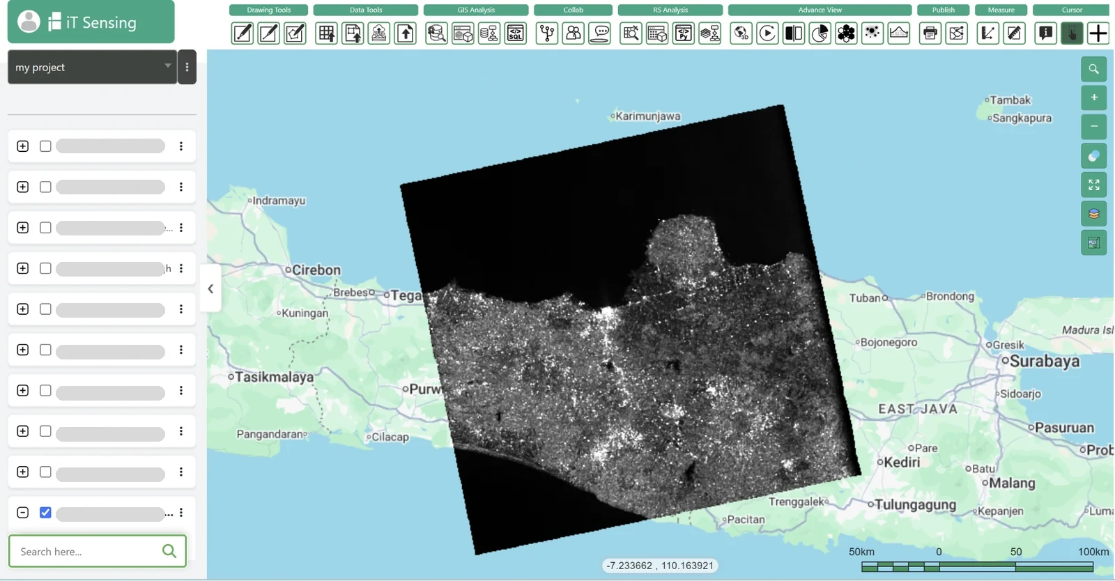
Use the documented iT Sensing workflow to organize satellite-data discovery, raster analysis, model development, and the resulting GIS context. For ALOS PRISM, first confirm that the required product, format, quality fields, and processing operation are supported by the specific workspace or acquisition channel being used. This article reviews the mission; it does not assert that every instrument product is automatically available, licensed, or fully processed inside a particular subscription.
The useful handover is a source-linked map and analysis table that explain deriving historical surface geometry from along-track stereo imagery, retain the valid observation footprint, and state the evidence behind the conclusion. Link the result to the project documentation and the relevant data-selection record so collaborators can repeat the comparison. A clear account of measurement, processing, uncertainty, and intended action gives satellite imagery practical value beyond a visually convincing map.