What GEDI measures and why it matters
GEDI is a waveform lidar instrument hosted on the International Space Station. Its sampled footprints constrain vertical forest structure within the mission's orbital coverage.
The practical review question is estimating forest canopy structure for a regional biomass modelling project. This gives the mission a defined role in a project instead of treating a satellite specification as a general promise of better mapping. Start by identifying the physical variable, geographic extent, observation period, and smallest feature that would change the intended decision. A suitable instrument is one whose measurement and available product can answer that question with a defensible level of uncertainty.
For GEDI, the central interpretation risk is that footprint biomass estimates are model-based and should not be treated as a direct wall-to-wall carbon inventory. That risk should influence data selection, preprocessing, validation, and the wording of the final map. More pixels or a stronger visual contrast will not resolve a mismatch between the measured quantity and the conclusion being requested. Keep the mission-specific limitation visible while assessing whether another sensor, field observation, or ancillary dataset is needed.
Keep footprints and vertical references visible
Satellite laser observations sample the surface along tracks and footprints. A waveform or photon distribution contains information about scattering surfaces and noise; a higher-level height product applies classification and retrieval decisions. Ground, canopy top, water, and cloud can generate different returns. Choose the product designed for the target surface and retain the relevant quality, sensitivity, and classification fields rather than interpreting every recorded return as terrain.
Geolocation and vertical reference are central to height comparison. Ellipsoidal height, orthometric height, and a height relative to a locally estimated ground surface are different quantities. Sloped terrain can turn a horizontal mismatch into an apparent elevation difference. Match reference frames and observation locations carefully before calculating change, especially when comparing laser measurements with radar elevation or a local survey collected at another time.
Separate sampled evidence from mapped prediction
A set of high-quality footprints is still a sample of a landscape. Interpolating or modelling between tracks introduces assumptions that should be evaluated independently. Forest biomass estimates, for example, may combine measured canopy structure with a statistical relationship and then use optical or radar predictors to extend estimates spatially. The modelled map should retain uncertainty and the range of conditions represented in its training data.
Validation should include an independent reference appropriate to the reported height or structure variable. Compare acquisition dates, plot geometry, terrain, vegetation state, and measurement definitions. Do not validate canopy height against a bare-earth elevation or treat a footprint biomass estimate as a direct measurement of carbon stock. Report sample coverage and the distinction between measured, retrieved, and predicted quantities in the final GIS layer.
A project workflow for GEDI
A defensible starting workflow is to combine qualified footprints with independent field plots and clearly document any extrapolation to unsampled forest. Make this a documented sequence with input scene identifiers, processing collection, acquisition timestamps, quality exclusions, and output definitions. Inspect representative observations before running a large batch. This small review often exposes a missing band, unsupported retrieval condition, geometry mismatch, or archive gap that would otherwise propagate through every exported layer.
Keep source measurements and derived indicators separate. A GIS can display both, but their metadata should explain which layer comes directly from the selected GEDI product and which includes an additional classification, interpolation, statistical summary, or physical model. Store masks and uncertainty information with the result. If an analysis changes scale through aggregation or resampling, record that transformation rather than implying that the source instrument measured the new reporting units directly.
A repeatable workflow also needs a clear rule for missing or rejected observations. Do not substitute zero for no data or interpolate silently through an important event. Report how much of the target area was observed and which dates actually contribute to the result. If the available evidence cannot answer the original question, narrow the geographic or temporal claim or obtain complementary observations before presenting a management conclusion.
An illustrative interpretation check
For an illustrative forest model, laser footprints occur mainly along accessible orbital tracks while the prediction area includes steep and structurally different forest. A good fit to sampled footprints does not verify the unsampled landscape. Withhold independent plots spanning the new conditions, report where predictions extrapolate, and preserve uncertainty. A wall-to-wall display should identify modelled estimates separately from the locations where an actual laser observation supports the structure measurement.
The same logic applies to the target question of estimating forest canopy structure for a regional biomass modelling project. Use the example as a comparison design, then replace its hypothetical conditions with the actual scene and reference metadata. It is not a published performance result for GEDI. A reproducible interpretation should make it possible for another analyst to see which observation supports the claim and which part depends on an assumption that still needs testing.
Validation, specifications, and responsible comparison
Evaluate GEDI against independent evidence that measures a comparable quantity at a compatible time and scale. Keep validation observations separate from training or tuning inputs. Include both typical conditions and difficult environments, and report important errors by class or surface type where that affects the intended decision. One attractive scene or a high agreement statistic from a convenient subset does not establish performance across a different region, season, or processing version.
Use the official references below to verify instrument design and product documentation. Operational status, acquisition schedules, archive holdings, processing collections, commercial terms, and access mechanisms can change; check those details for the actual project date. A nominal orbit repeat or advertised resolution is an instrument or service specification, not proof that a usable observation exists for a particular target. Preserve this distinction when comparing candidate missions or planning a monitoring frequency.
Keep an export manifest containing the original scene identifier, provider, product version, coordinate reference, units, masks, and processing parameters. This record makes a later review possible even if a catalogue interface changes. It also allows a collaborator to distinguish a revised algorithm output from a newly acquired observation without relying on the appearance of the map.
Bring the evidence into an iT Sensing project
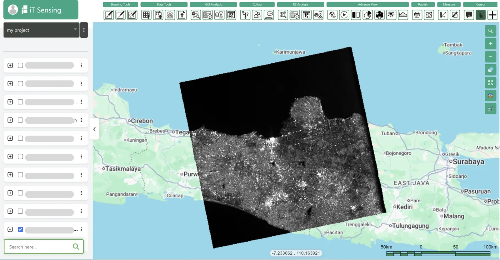
Use the documented iT Sensing workflow to organize satellite-data discovery, raster analysis, model development, and the resulting GIS context. For GEDI, first confirm that the required product, format, quality fields, and processing operation are supported by the specific workspace or acquisition channel being used. This article reviews the mission; it does not assert that every instrument product is automatically available, licensed, or fully processed inside a particular subscription.
The useful handover is a source-linked map and analysis table that explain estimating forest canopy structure for a regional biomass modelling project, retain the valid observation footprint, and state the evidence behind the conclusion. Link the result to the project documentation and the relevant data-selection record so collaborators can repeat the comparison. A clear account of measurement, processing, uncertainty, and intended action gives satellite imagery practical value beyond a visually convincing map.