THE ITSENSING JOURNAL

A clearer view of a changing planet.

Practical satellite reviews, remote sensing methods and GIS workflows. Explore the science, understand the limits, and take your next project into iT Sensing.

341articles4topics
Satellite view of agricultural land
Satellite reviews

Landsat 1 Review: Measurements, Products and Practical GIS Use

Read article ↗

Explore the journal

Applications

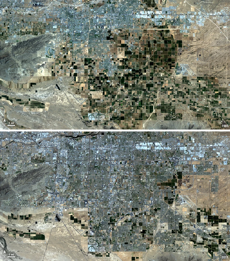
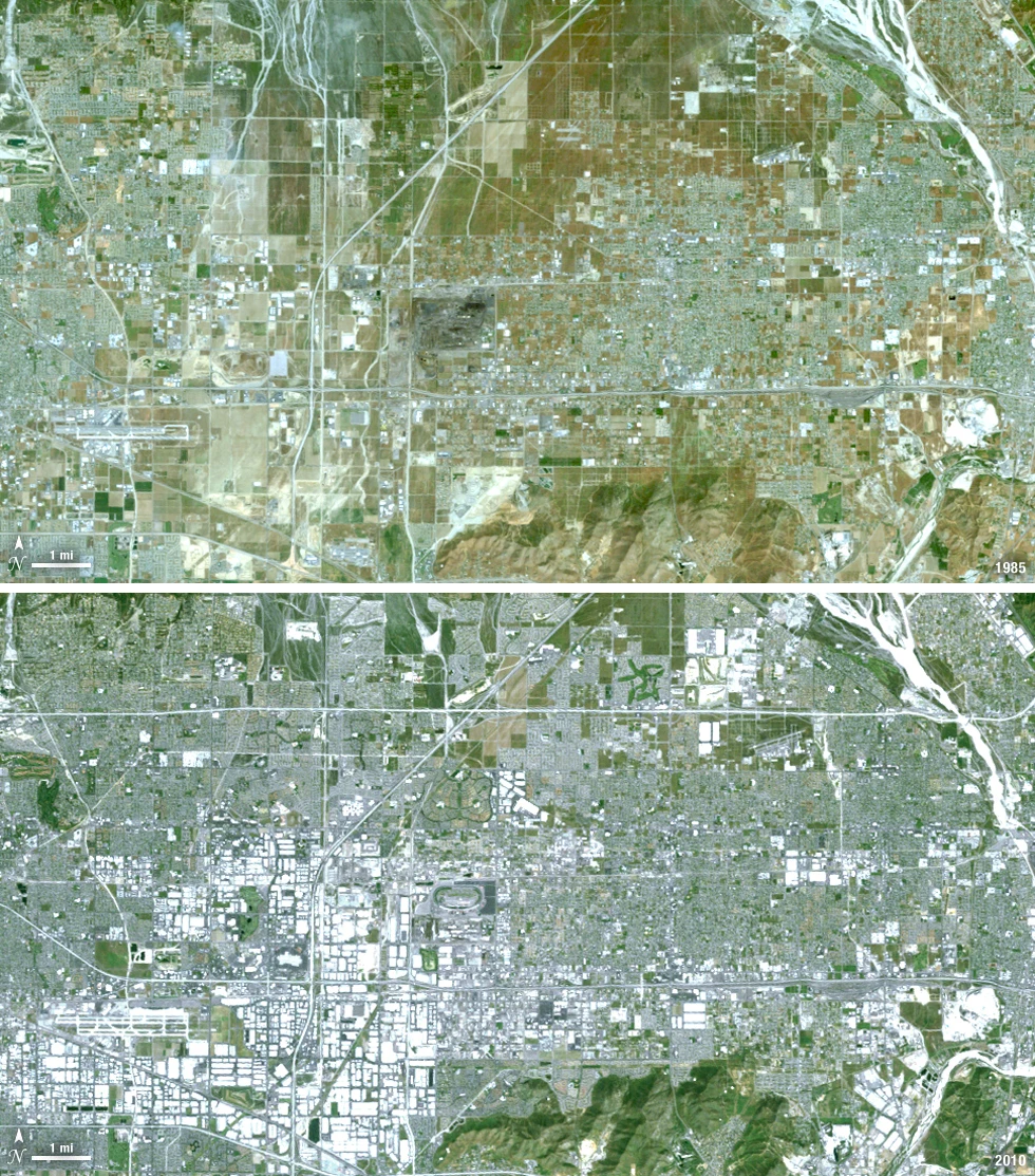
Peri-Urban Agricultural Conversion Mapping

Where has supported agricultural cover changed persistently toward other land uses? Learn how to select satellite observations, test the analysis, validate uncertainty and deliver useful GIS evidence with iT Sensing.

Applications

Road Corridor Land-Cover Change Monitoring

Which corridor sections show observable changes that warrant asset or environmental review? Learn how to select satellite observations, test the analysis, validate uncertainty and deliver useful GIS evidence with iT Sensing.

Applications

Wind Farm Access and Land-Cover Monitoring

Where have project-associated access or land-cover changes become observable? Learn how to select satellite observations, test the analysis, validate uncertainty and deliver useful GIS evidence with iT Sensing.