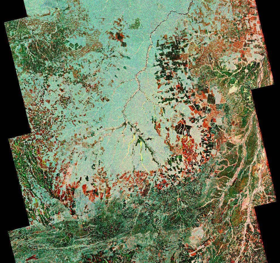
Amazonia-1 Review: Measurements, Products and Practical GIS Use
An evidence-based Amazonia-1 review for supporting broad Amazon forest-change screening, with sensor specifications, product selection, interpretation limits and GIS validation.
THE ITSENSING JOURNAL
Practical satellite reviews, remote sensing methods and GIS workflows. Explore the science, understand the limits, and take your next project into iT Sensing.

An evidence-based Amazonia-1 review for supporting broad Amazon forest-change screening, with sensor specifications, product selection, interpretation limits and GIS validation.
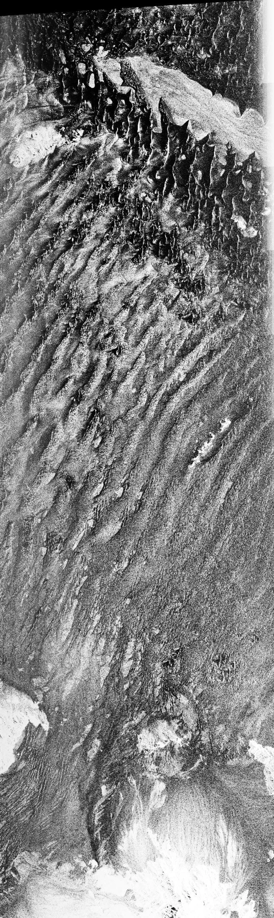
An evidence-based SAOCOM-1A review for evaluating broad agricultural moisture and inundation patterns, with sensor specifications, product selection, interpretation limits and GIS validation.
An evidence-based SAOCOM-1B review for improving the temporal sampling of a radar-based agricultural monitoring study, with sensor specifications, product selection, interpretation limits and GIS validation.
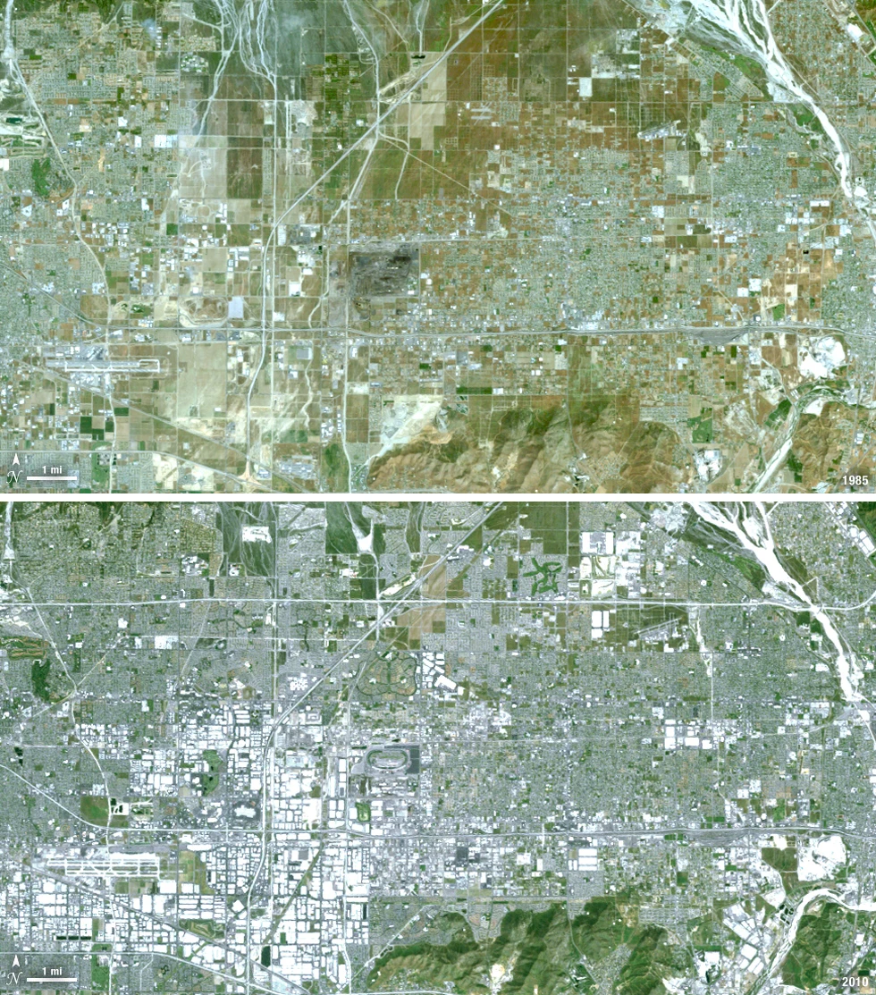
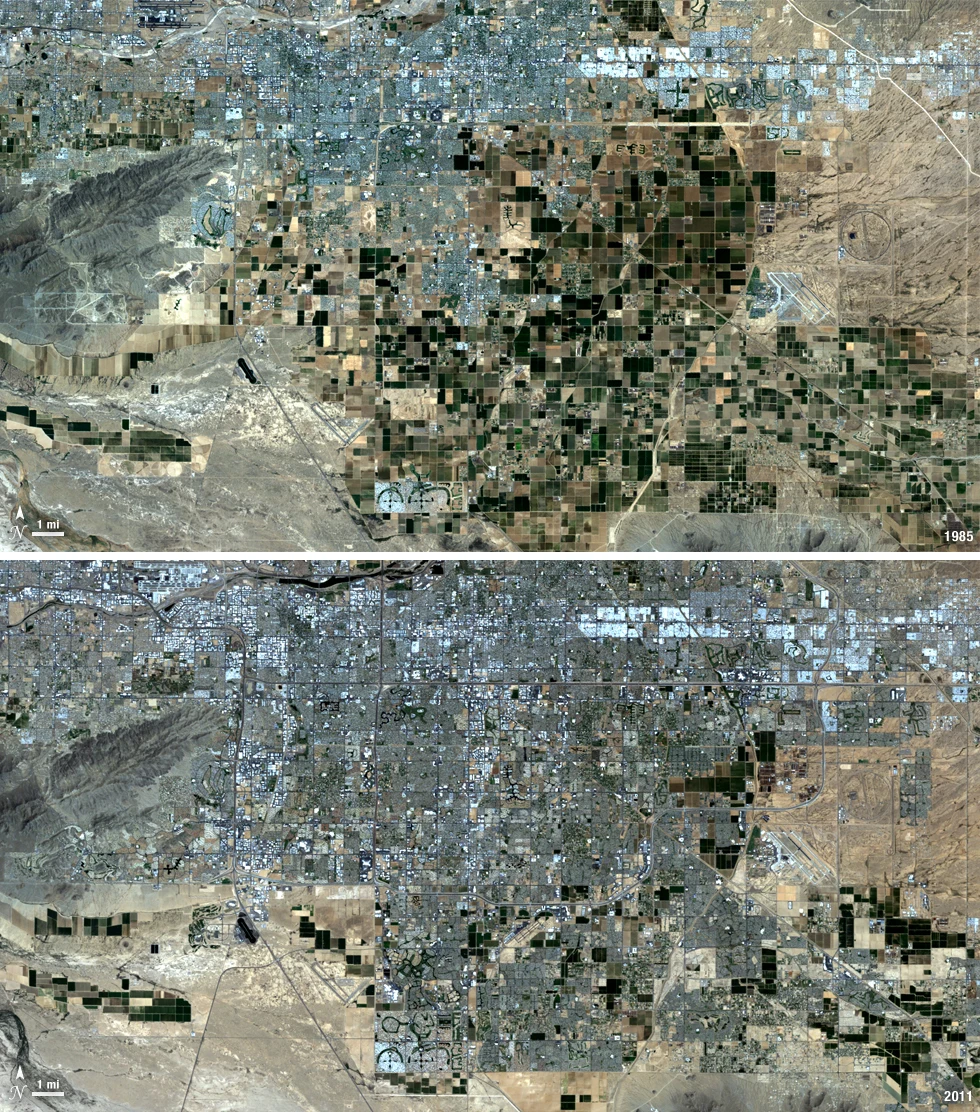
An evidence-based SPOT 5 review for reconstructing historical built-up expansion and broad terrain context, with sensor specifications, product selection, interpretation limits and GIS validation.
An evidence-based SPOT 6 review for covering a regional infrastructure corridor with fewer scenes, with sensor specifications, product selection, interpretation limits and GIS validation.
An evidence-based SPOT 7 review for comparing a historical regional baseline with newer detailed mapping, with sensor specifications, product selection, interpretation limits and GIS validation.
An evidence-based Pleiades 1A review for mapping detailed urban objects with a traceable commercial image baseline, with sensor specifications, product selection, interpretation limits and GIS validation.
An evidence-based Pleiades 1B review for documenting a narrow infrastructure corridor with consistent acquisition geometry, with sensor specifications, product selection, interpretation limits and GIS validation.
An evidence-based Pleiades Neo 3 review for evaluating detailed urban and vegetation context within a commercial image acquisition, with sensor specifications, product selection, interpretation limits and GIS validation.
An evidence-based WorldView-2 review for separating urban vegetation and selected coastal surface classes, with sensor specifications, product selection, interpretation limits and GIS validation.
An evidence-based WorldView-3 review for evaluating material discrimination in a detailed mining or industrial landscape, with sensor specifications, product selection, interpretation limits and GIS validation.
An evidence-based GeoEye-1 review for building a detailed historical urban mapping baseline, with sensor specifications, product selection, interpretation limits and GIS validation.
No matching articles. Try a different search.